Discover information
Information about a property or in the surrounding area is grouped into categories in the left panel. Click on the drop-down arrow to display the available information (select again to collapse the group).![]()
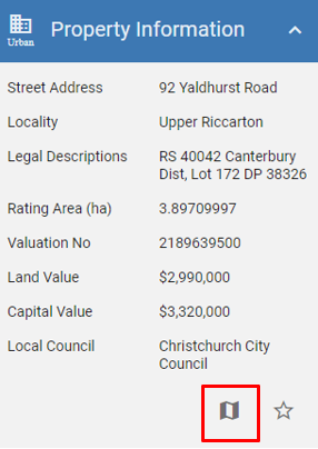
Properties have been identified as either rural or urban and will display slightly different information depending on which type it is. You can see the property below has been identified as urban by looking in the top left-hand corner.
Viewing data on the map
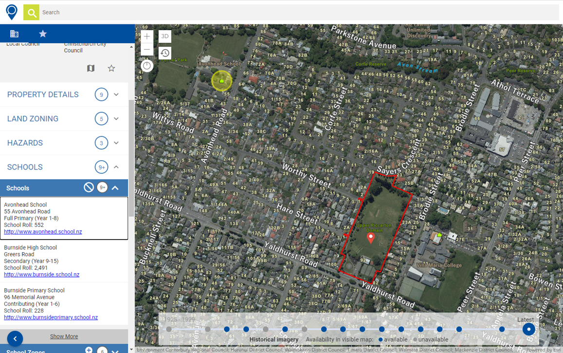
Select the add pin button to add the features to your map. Select an item to visualise the features on the map.

Below you can see the schools nearby have been added to the map. Avonhead school has been selected and this can be seen highlighted in yellow on the map.
Quick link to Map viewer
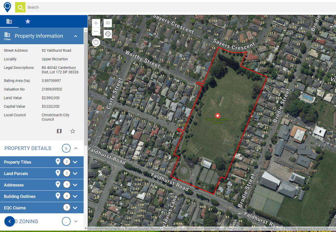
Use the button below to open the property in the Canterbury Maps Map Viewer. It will open with the property visible on the map.