News
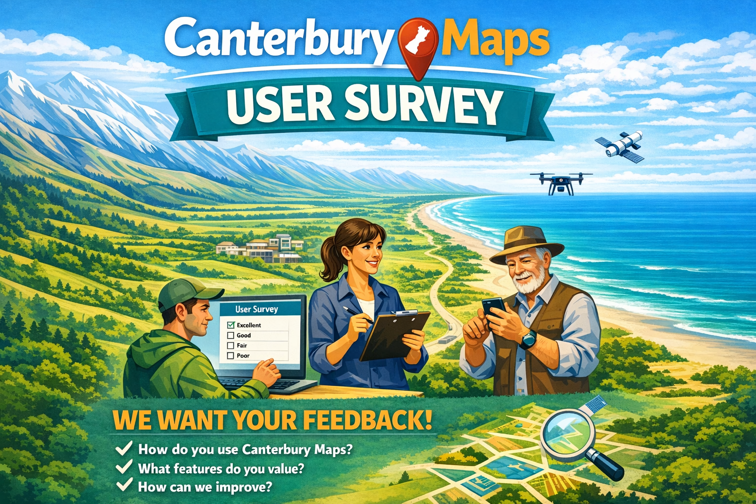
Since 2020, Canterbury Maps has been used by hundreds of thousands of New Zealanders to access, download, and use a wide range of geospatial data from across the region. Help us inform the development of an exciting new version. As we prepare for a major rebuild of the platform, we want to better understand how Canterbury Maps is currently used, which features matter most, and what a future version could look like. A key part of this work is engaging directly with our users—you.
By telling us what works well, what doesn’t, and what you need from your perspective, you’ll help shape a new platform that better meets user needs. This will be supported by the most up-to-date and authoritative datasets from district councils across the region.
To help us do this, we’ve created a short online survey that takes around 5–10 minutes to complete. We welcome feedback from all Canterbury Maps users—whether you’re a keen cartographer, a commercial organisation, or an experienced GIS professional. Your input is vital in helping us develop Canterbury Maps 2.0.
Thanks for your time
The Canterbury Maps Team
2026 Canterbury Maps User Survey