Interpret

Company size: 5-10
Founded: 2013
Most useful service: Latest imagery
Most useful map/tool: Consent Application Resources
Website: http://interpret.co.nz
Industries work within: Traffic engineering, Utilities, Local Councils, Environmental Applications, Property, GIS Consultancy
Who are we?
The people behind Interpret are familiar faces in the professional community, with many of our senior staff playing prominent roles in various institutions and groups within the geospatial sector.
Drawing on the capabilities of a team of highly qualified experts, with specialist experience gained all over the globe, we cater unique solutions to suit the specific requirements of each individual client we work alongside. An innovative mind- set, a passion for problem solving, cutting-edge resources and a multi-disciplinary approach ensure we consistently exceed the expectations of our clients. To learn more about the comprehensive range of services out team offers, visit www.interpret.co.nz
How we use Canterbury Maps?
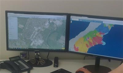
We primarily utilise Canterbury Maps Esri GIS Services for integration into our daily processes and in particular into applications our we develop for our clients. A very common scenario is to utilise the imagery and base map services available from Canterbury Maps to form a contextual backdrop for use within our clients web and mobile applications. These clients include the Christchurch City Council, Enable Networks Ltd and Lyttelton Port.