News
New urban imagery released
Each year, the Canterbury Maps partners contract new aerial imagery to be captured over the Canterbury region. This imagery is captured from a specialist camera on board a small plane and added to the Latest Imagery Basemap on Canterbury Maps. Not all imagery in the basemap is captured at the same time but it is all combined together to make up the latest imagery basemap. New urban Imagery captured over the 2020/2021 summer has been added to the latest imagery basemap.
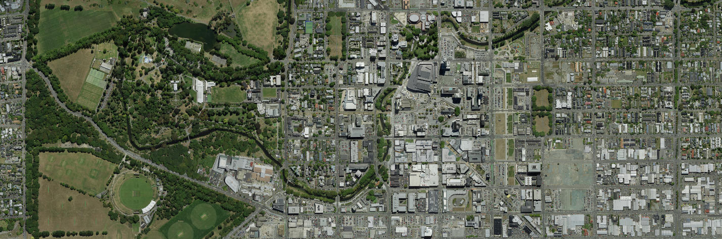
The imagery in the new urban collections was captured with a resolution of 7.5 cm except Christchurch CBD, which was captured with a resolution of 5 cm.
You can view the 2D aerial imagery in the Canterbury Maps Map Viewer or both in 2D and 3D in the Canterbury Maps Property Search.
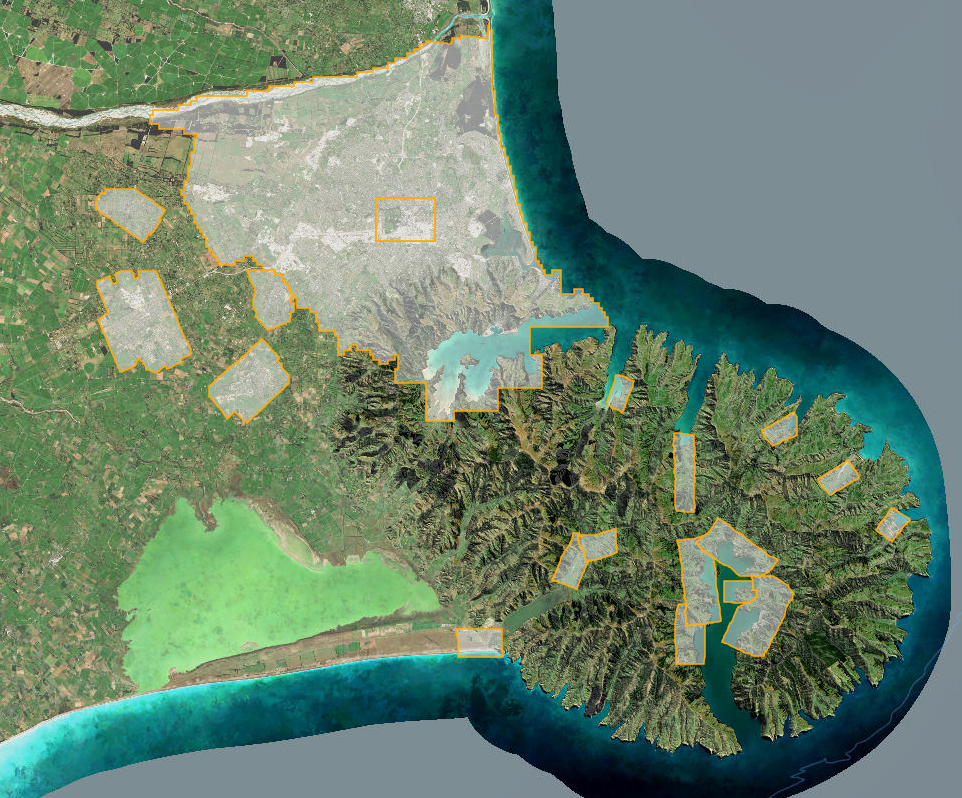
New urban areas captured
|
Christchurch & Banks Peninsula
|
Selwyn
|
Waitaki
|
Access this imagery
You can view the 2D aerial imagery in the Canterbury Maps Map Viewer or both in 2D and 3D in the Canterbury Maps Property Search.
This imagery will be available for download via LINZ Data Service (LDS) in the next 6 months. In the meantime you can access our imagery by connecting to our online services.
What's next?
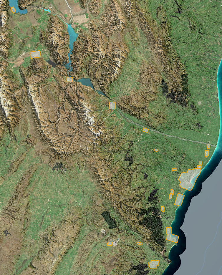
The final aerial imagery which was captured over the 2020/2021 summer will be released in the next few months, these areas are listed below.
-
Rural Mackenzie
-
Rural Waitaki
The new imagery season will then soon commence over the 2021/2022 summer. The areas which will be captured during this season will be announced later this year so stay tuned! In the meantime, you can keep up to date with all the latest and contracted imagery by checking in on the Aerial Imagery Collections map viewer.