News
Map viewer updates
The map viewer is about to undergo some major updates. New map tools will soon be available for use.
Watch this news space or sign up to our newsletter for more information.
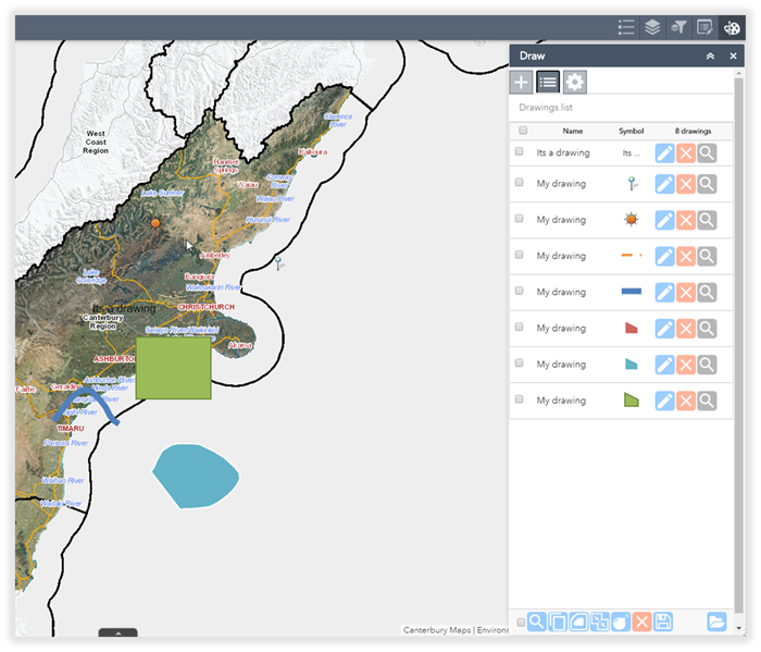
Drawing tools
|
Copy a feature |
Buffer features by a set distance |
Merge features |
|
Explode features |
Save drawings |
Import drawings |
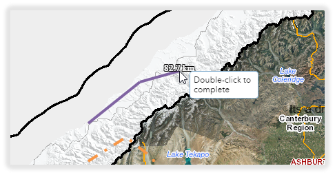
Interactive measure tool
When drawing a line, the measurements will update interactively as you draw a feature.
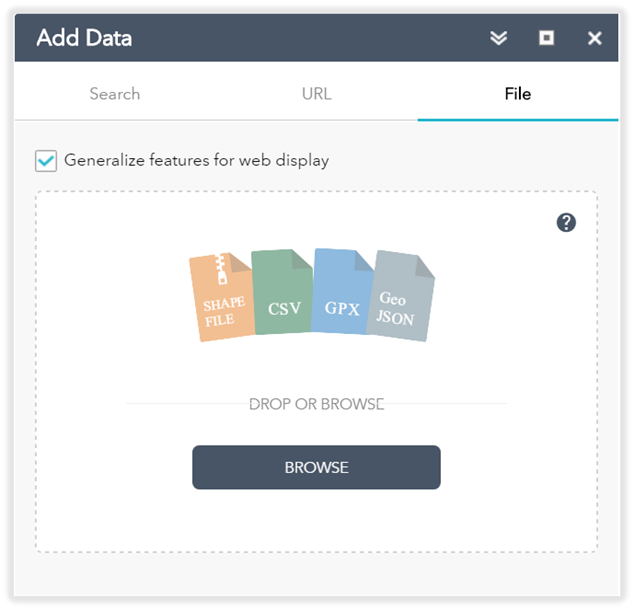
Add data formats
Add spatial data to your map from a shapefile, CSV (excel spreadsheet), GPX or GeoJSON file. Alternatively add data from a web service URL.
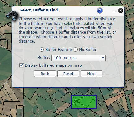
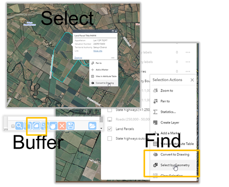
Select, Buffer, Find
The old advanced viewer select, buffer, find tool will be replaced with a new set of functions in the new viewer.