News
New Aerial Imagery Coming Soon!
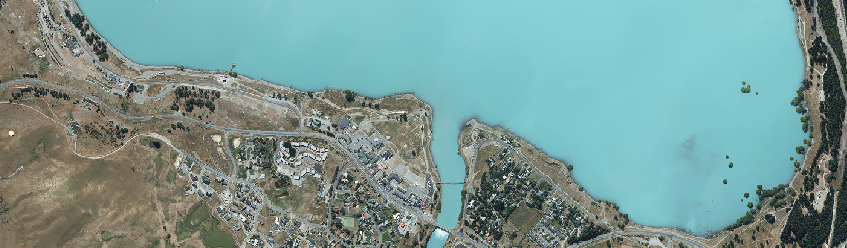
It is that time where we are getting ready to add newly captured aerial imagery to the Latest Imagery Basemap on Canterbury Maps. This new imagery captured from a specialist camera onboard a small plane will be available for all to use in the coming month.
For a list of the new areas captured see below:
Mackenzie: Tekapo, Albury, Burkes Pass, Fairlie, Kimbell, Twizel, Manuka Terrace, Cemeteries
Timaru: Pareora, Peel forest, Pleasant Point, Temuka, Timaru
Ashburton: Chertsey, Hakatere, Hinds, Lake Clearwater, Lauriston, Mayfield, Methven, Mt Somers, Rakaia, Rangitata Huts
Banks Peninsula: Including Little River, Cooptown, Le Bons Bay, Koukourarata Marae, Birdlings Flat, Pidgeon Bay, Kukupa, Barrys Bay, Duvauchelle, Robinsons Bay, French Farm, Tikao Bay, Takamatua Bay, Akaroa, Wainui and Anchorage Bay.

New imagery captured of Hakatere / Ashburton River
|
Don't forget you can always check the date the imagery was captured by adding the "Latest Imagery Extents" layer to your map and clicking on the area of interest. You can also use the swipe tool to compare imagery. See the video to the right on how to do this in the map viewer. |
As always we appreciate your feedback. If you would like to let us know something you liked or didn't like, or any ideas you have please send them through to us here info@canterburymaps.govt.nz