News
New Aerial Imagery Available
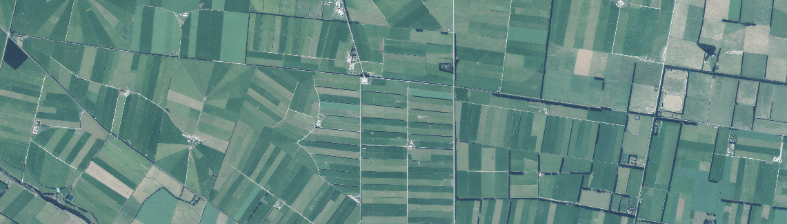
Each year the Canterbury Maps partners contract new aerial imagery to be captured over the Canterbury region. This imagery is captured from a specialist camera on board a small plane and added to the Latest Imagery Basemap on Canterbury Maps. Not all imagery in the basemap is captured at the same time but it is all combined together in a patchwork to makeup the latest imagery basemap.
The newly available imagery in the map viewer covers a portion of Waimakariri, Selwyn and Banks Peninsula. The imagery was captured on the following dates:
Waimakariri and Selwyn - 17 December 2018, 17 and 19 April 2019
Banks Peninsula and Christchurch - 9 February 2019 and 1 May 2019

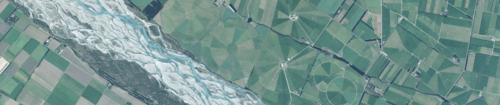
Extent of newly available imagery
You may be wondering why there are some holes in the new imagery. These aren't holes, but are urban areas which have been captured at a higher resolution. This higher resolution imagery is put on top of lower resolution imagery so you have the best quality imagery available for viewing. Generally on Canterbury Maps rural imagery is captured at a slightly lower resolution than urban imagery.
Don't forget you can always check the date the imagery was capture by adding the "Latest Imagery Extents" layer to your map and clicking on the area of interest.
What's coming next?
Next up is imagery covering the urban areas in Banks Peninsula including Little River, Cooptown, Le Bons Bay, Koukourarata Marae, Birdlings Flat, Pidgeon Bay, Kukupa, Barrys Bay, Duvauchelle, Robinsons Bay, French Farm, Tikao Bay, Takamatua Bay, Akaroa, Wainui and Anchorage Bay.
As always we appreciate your feedback. If you would like to let us know something you liked or didn't like, or any ideas you have please send them through to us here info@canterburymaps.govt.nz