News

Canterbury Maps at the 2019 World ESRI User Conference
Between July 8-12, 2019, the World ESRI User Conference was held in San Diego. This is the world’s largest Geographic Information Systems (GIS) conference. Nathan McKinley from the Canterbury Maps team was lucky enough to attend the conference.
Nathan submitted the vector-tile basemap of Land Information New Zealand's Topo50 map series that he had created into the ESRI Map Gallery competition. This map highlights the topographical features of Banks Peninsula and a portion of Christchurch. His submission was entered with 811 others and was voted first place in the Reference Map category – an outstanding achievement!
Nathan is the expert behind the new vector basemaps available for use on Canterbury Maps. Keep an eye out for the Canterbury-wide version of his map available on the site in the near future.
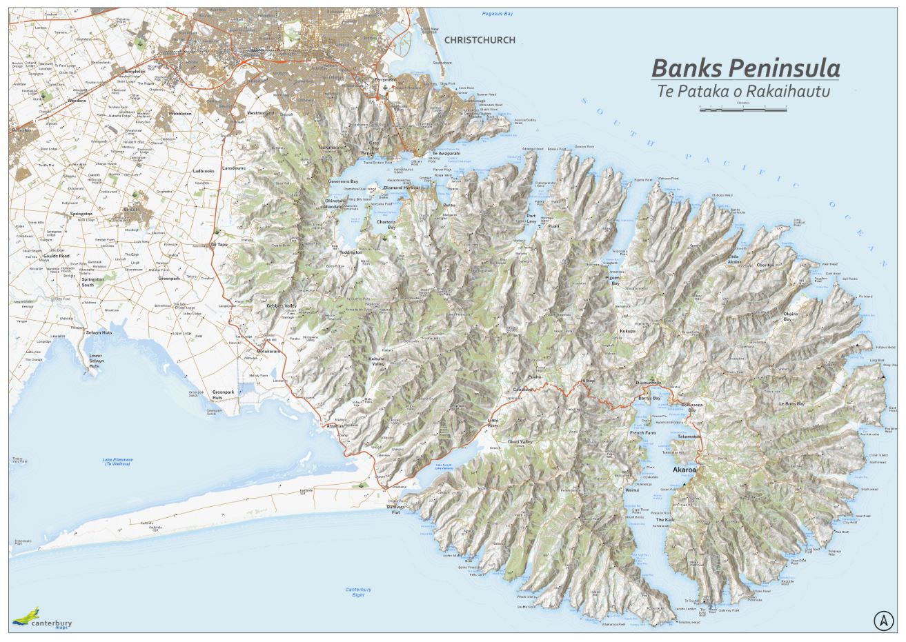
Canterbury Maps vector basemap version of Land Information New Zealand's Topo50 map series. Extent of map includes Banks Peninsula and a portion of Christchurch, New Zealand.