Search
Once you have navigated to the explore tab, you can search for data and maps in many ways:
Keyword Search
Type a keyword, address or place name in the top left corner search box.
You can toggle maps, locations, site content and open data on and off to filter the results.
Simply select one of the icons under the search box to filter results to a specific data type.

Maps: Includes any maps created for specific purposes (e.g. "Tools for Well Drillers", "Historic Aerial Imagery", "District Planning Zones") and storymaps ("Healthy Catchments Project", "Kaikoura Water")
Addresses and Locations: Brings back any locations associated and opens them in the Property Search tool
Content Pages: Links through to the news sections of the website, includes any news that has been published related to your search
Open Data: Includes any open data available on the site, links through to the open data portal where you can download any of the free to access data
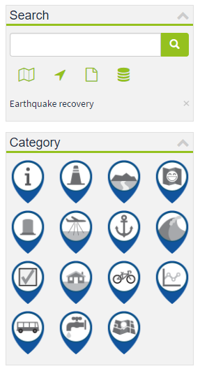
Category Search
Expand the category list and click on an icon to search for maps and data within that category.
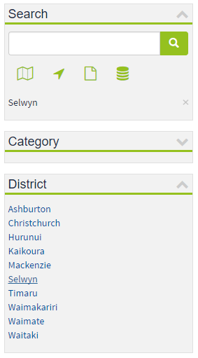
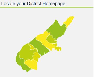
District Search
Select a district from the list to search for maps, data and locations within the district area.
Alternatively you can choose a region from the Canterbury Maps home page then click explore to view the district search results.
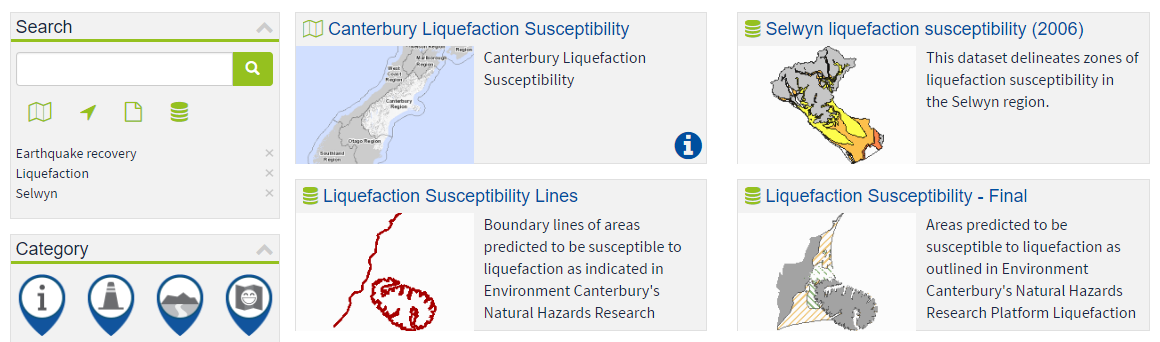
Combination Search
You can refine your search results by adding multiple keywords, categories and districts.
Example: Clicking on the earthquake recovery category, typing the keyword liquefaction and selecting the Selwyn district.